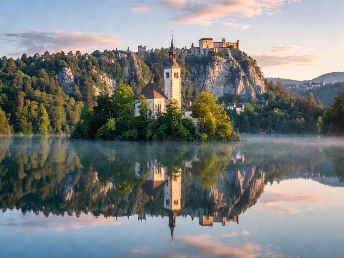
01 — Upper Carniola
Lake Bled
A teardrop lake with an island church, a clifftop castle and a 6 km shoreline path that takes 90 minutes at a photographer's pace.
Open the Bled guide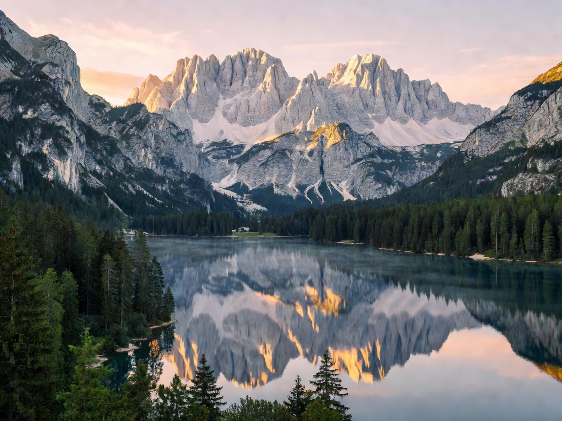
Slovenia · Julian Alps · Adriatic
Follow Slovenia's lakes, alpine valleys, forests and spectacular scenic routes — researched on the ground, written without sponsorship.
The premise
Slovenia is the only country in Europe where you can stand on a glacier-carved alpine ridge in the morning and eat grilled sea bass on a Venetian quay the same evening. Nearly 60% of the country is forest, and more than a third of it sits inside protected nature areas.
This guide is written as a travel publication, not a booking engine. Every route has been driven, every trail time has been walked, and every price band is checked against the 2026 season. We take no commission on accommodation.
Ridge by ridge
Stacked like the ranges themselves — hover or tap to lift a layer out of the massif.
01 — Upper Carniola
A teardrop lake with an island church, a clifftop castle and a 6 km shoreline path that takes 90 minutes at a photographer's pace.
Open the Bled guide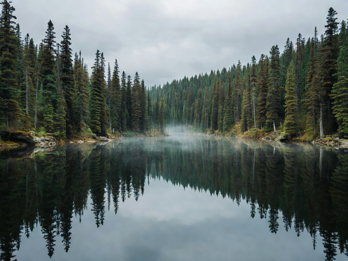
02 — Bohinj basin
Slovenia's largest permanent lake, four times the size of Bled and a fraction as busy, with the Vogel cable car climbing to 1,535 m.
Open the Bohinj guide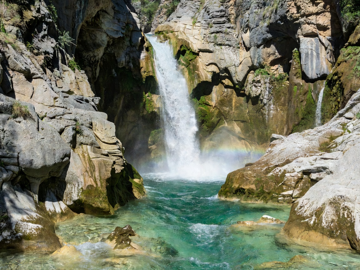
03 — Primorska
The emerald river, 138 km of it, plus the Vršič Pass, the Kobarid WWI museum and the best whitewater in the eastern Alps.
Open the Soča guide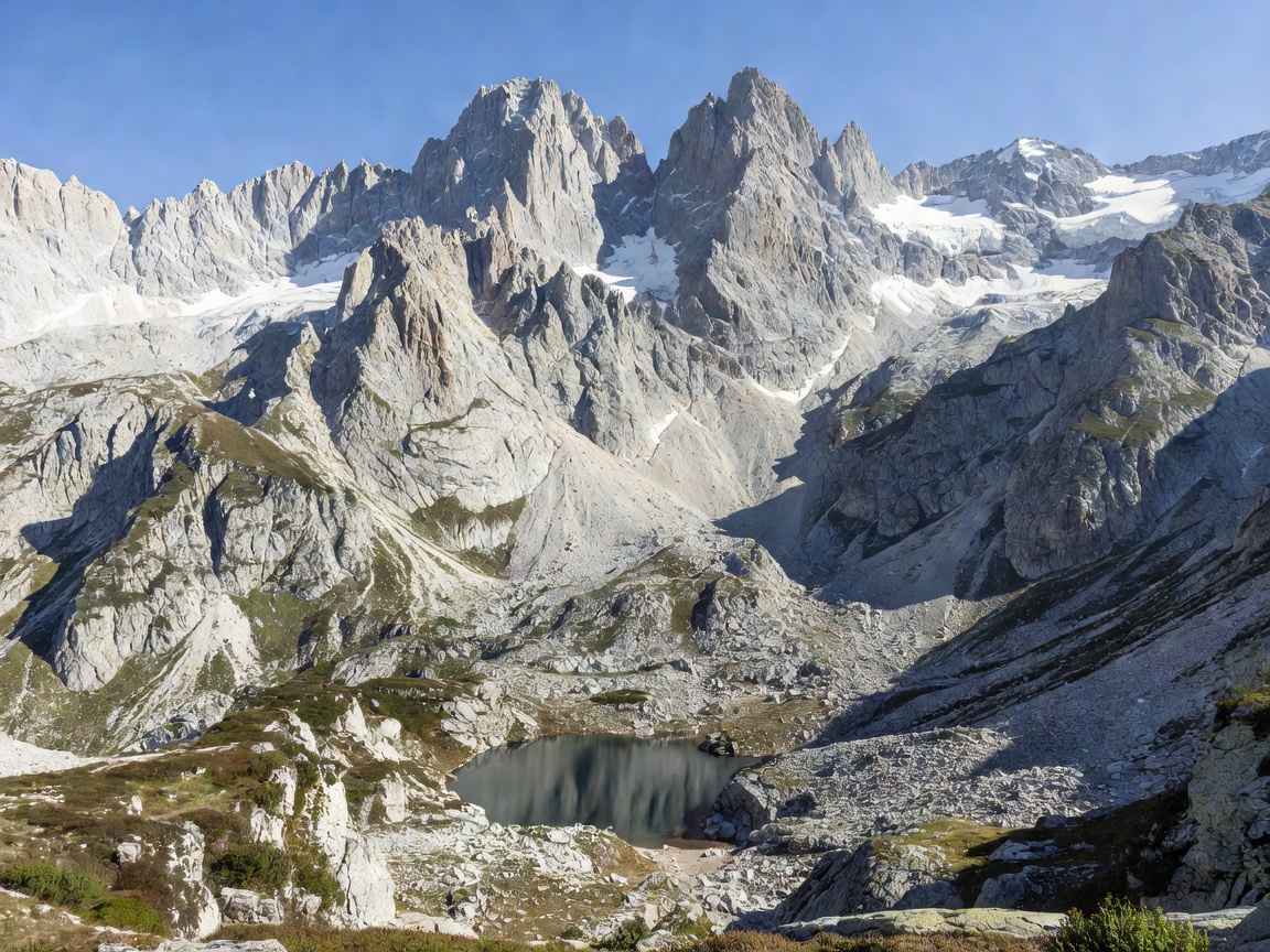
04 — Julian Alps
880 km² of protected high country around Mount Triglav (2,864 m), the Seven Lakes Valley and a network of 170 mountain huts.
Open the Triglav guidePlan the trip
Each one is a standalone article with distances, opening seasons, costs and the practical detail that decides whether a day works.
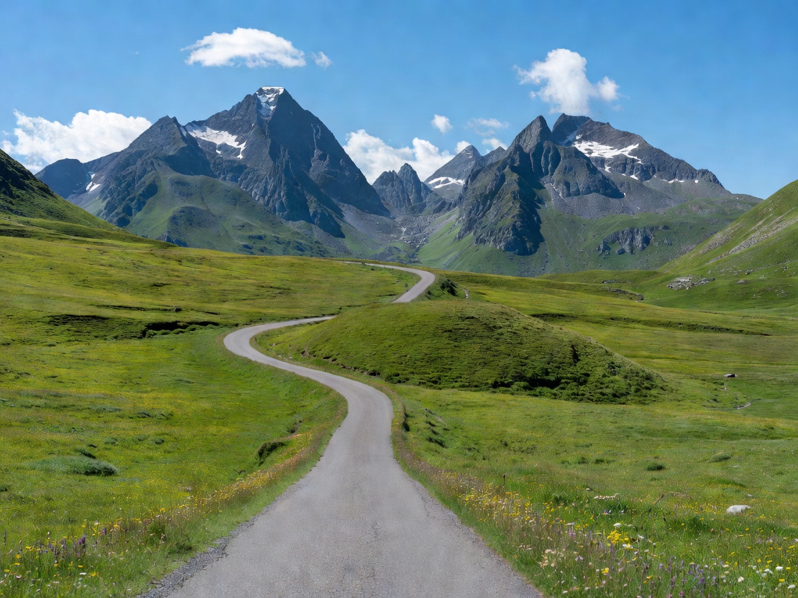
A tight four-day alpine loop, a full seven-day Alps-to-Adriatic traverse, and a slow three-day emerald river run. Each with fuel stops, parking notes and overnight suggestions.
Read the itineraries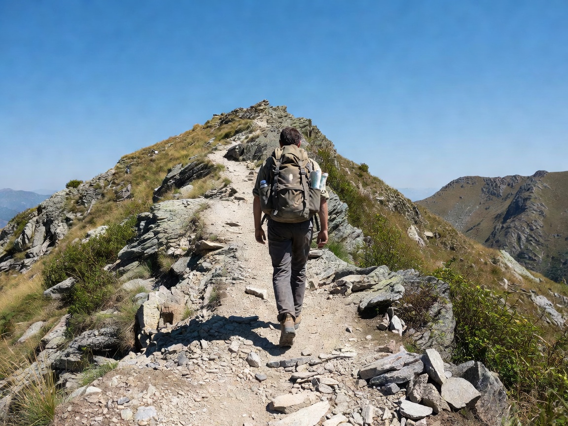
Hut-to-hut hiking, gorge walks, Soča rafting grades, paragliding above Tolmin, via ferrata routes and where to swim when the alpine water is only 14 °C.
Browse activities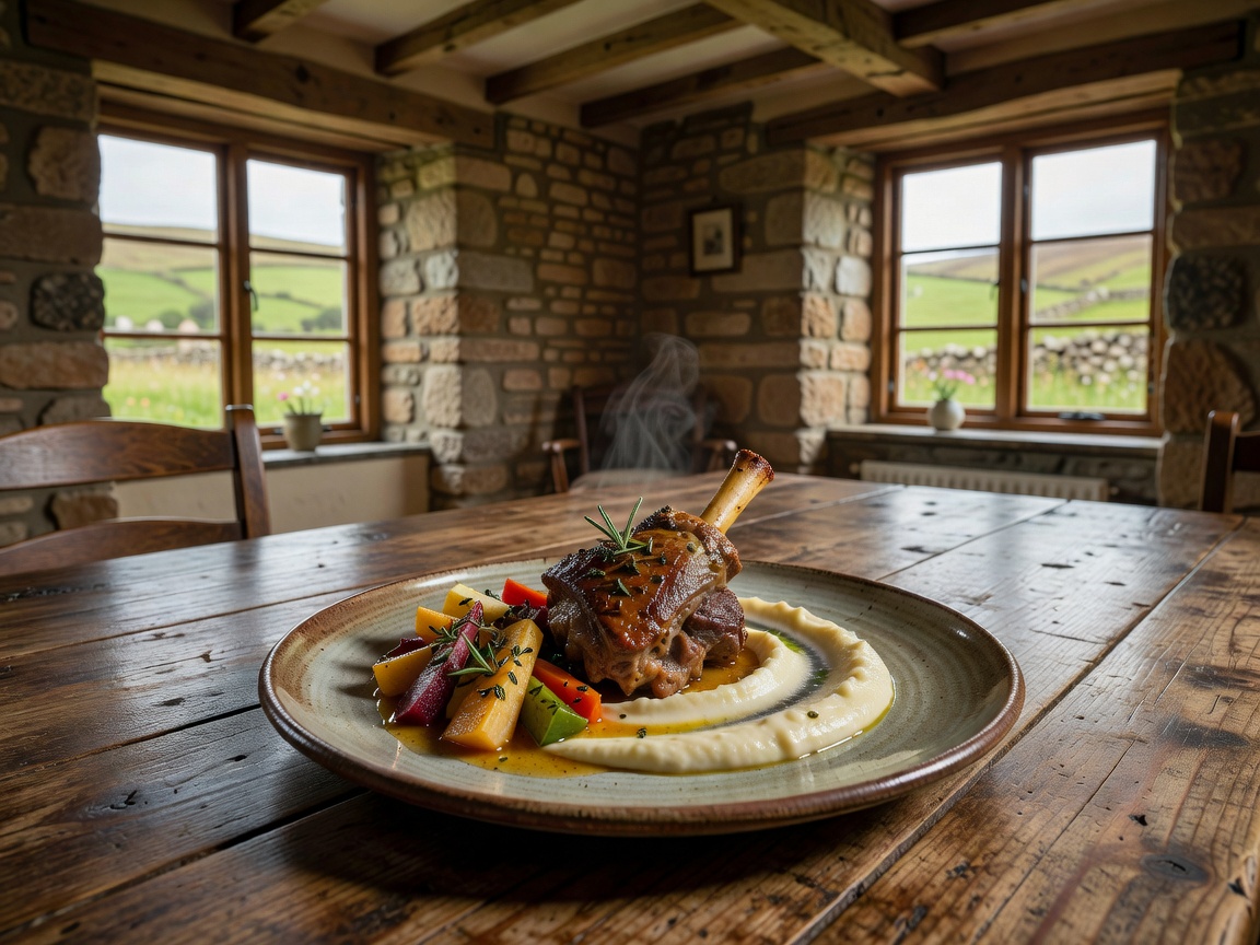
Potica, štruklji, Carniolan sausage, Karst pršut, Bled cream cake and the three wine regions — Podravje, Posavje and Primorska — explained plainly.
Read the food guide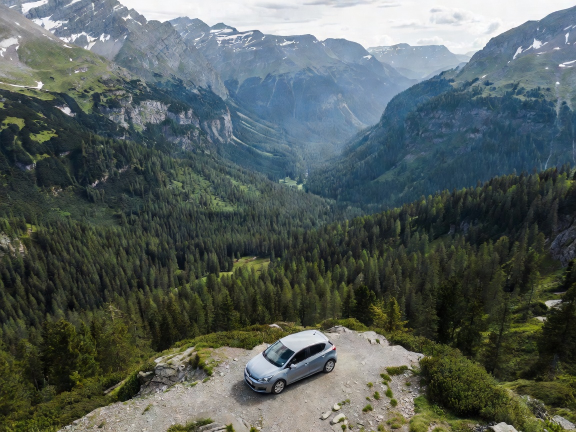
Motorway e-vignette rules, the Ljubljana airport transfer options, seasonal Vršič Pass closures, the Bohinj car train and whether you actually need a car.
Transport explained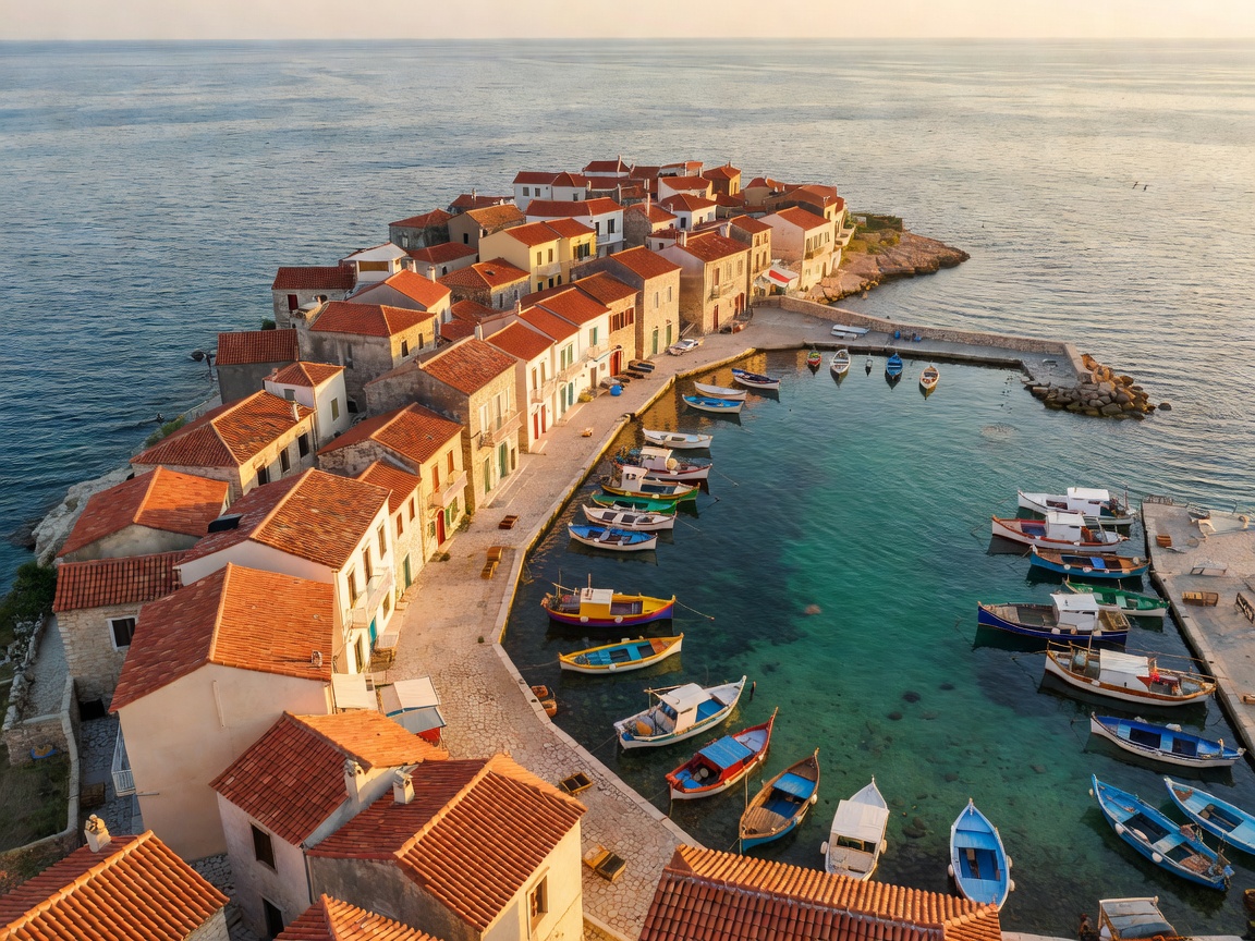
Venetian Gothic streets, Tartini Square, the walls above the harbour and the Sečovlje salt pans where salt is still raked by hand.
Open the Piran guide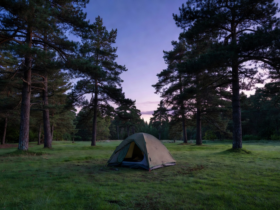
Currency, tap water, wild camping law, tourist tax, driving in winter, dog rules on trails and how far in advance you must book mountain huts.
Read the FAQ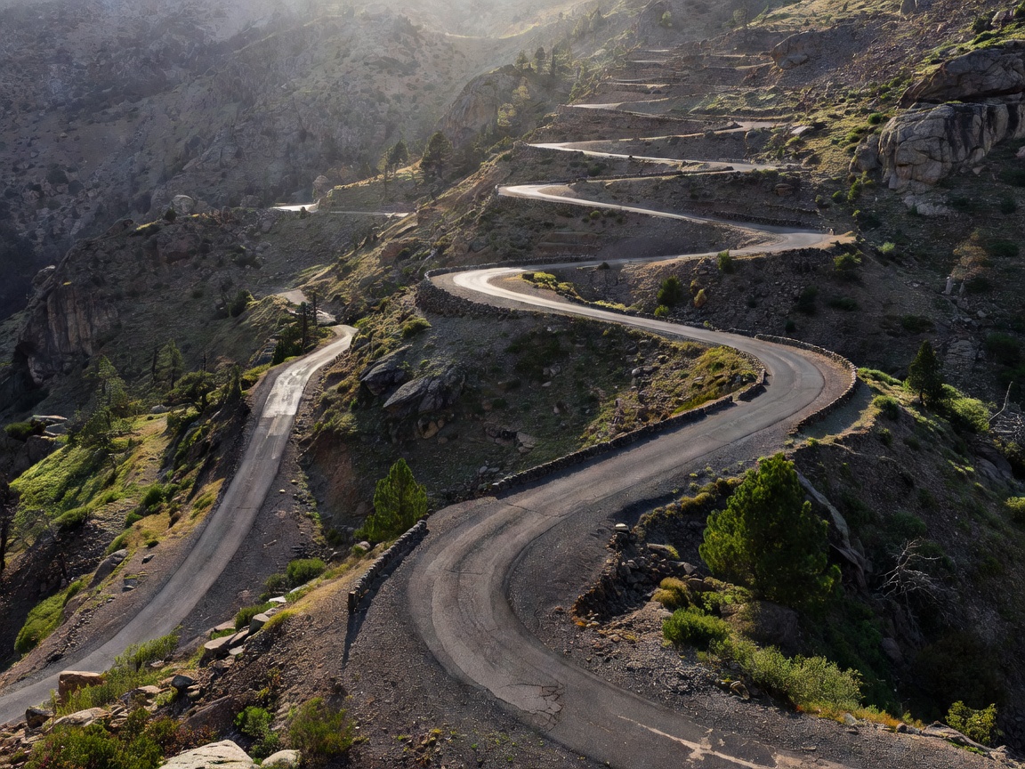
Editor's note
The most common mistake visitors make is treating Slovenia like a checklist. Ljubljana to Piran is 120 km; Bled to Bovec over the pass is 70 km but takes two hours with stops you will not want to skip. The country rewards a slow itinerary built around three bases rather than seven hotels.
Our recommended structure for a first visit: two nights in Ljubljana, three nights in the Bohinj–Bled basin, two nights in the Soča Valley, two nights on the coast. That leaves room for weather, for a long lunch in Goriška Brda, and for the afternoon you decide to sit by the water instead of driving.
Build your routeTiming
| Period | Alps | Coast | Crowds | Verdict |
|---|---|---|---|---|
| Mar–Apr | Snow above 1,400 m, valleys green | 14–18 °C, quiet | Low | Great for gorges and cities |
| May–Jun | Waterfalls at peak flow | 20–25 °C | Moderate | Our pick for photography |
| Jul–Aug | All huts and passes open | 27–31 °C | High | Book Bled parking early |
| Sep–Oct | Stable weather, larch colour | 19–24 °C | Moderate | Best all-round month: September |
| Nov–Feb | Vršič often closed, ski season | Cool, many closures | Very low | Ljubljana, spas and skiing only |
We answer reader mail within two working days. No sales pitch, no affiliate redirects.