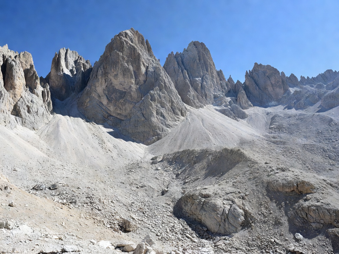
Slovenia has exactly one national park, and it contains almost all of the country's high mountains. Triglav National Park covers the Slovenian portion of the Julian Alps — a limestone range of sharp ridges, deep glacial troughs, karst sinkholes and turquoise rivers, with Mount Triglav at its centre. The mountain appears on the national coat of arms and the flag; there is a saying that you are not a true Slovene until you have stood on top.
Understanding the park
The park has three protection zones. The central zone covers the high mountains where development is effectively frozen; transitional and peripheral zones include working villages, alpine pastures and small tourist infrastructure. Roughly 2,500 people live inside the park boundary, mainly in the Bohinj basin, Trenta and the Radovna valley.
There is no entrance fee and no permit required for walking. Some individual attractions inside the park charge — the gorges, the Savica Waterfall, certain car parks — but the trails themselves are free and open. What is restricted is behaviour: no wild camping, no open fires, no drones without permission, no picking protected plants, no leaving marked paths in sensitive areas, and dogs must be on a lead.
Mount Triglav (2,864 m)
Triglav is a serious mountain, not a walk. Every standard route involves protected sections of via ferrata with fixed cables and pegs, and most parties climb it over two days with a night in a hut. You need a helmet, a harness and a via ferrata set, and you need to know how to use them. People die on this mountain every year, almost always through inexperience or bad weather.
The main approaches:
- Vrata valley via Tominšek or Prag route — the classic north side, passing the Aljaž Tower base and the great north face. Strenuous, long, hugely atmospheric.
- Krma valley — the longest but technically easiest ascent, usually done via Kredarica hut.
- Pokljuka via Rudno polje — the most common two-day route, gaining height gradually through forest.
- Trenta / Luknja — the southern approach, quieter and more committing.
On the summit sits the Aljaž Tower, a small metal cylinder erected in 1895 by the priest Jakob Aljaž, who bought the summit for one florin to secure it for Slovenian climbers. Kredarica hut (2,515 m) below the summit is Slovenia's highest and also its highest meteorological station.
The Valley of the Seven Lakes
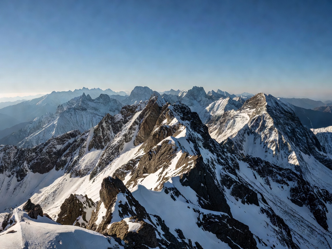
If you want the high mountains without the via ferrata, this is the walk. The Triglav Lakes Valley runs from about 1,300 m to 2,000 m, holding a chain of glacial tarns in a limestone basin with dwarf pine and larch. The standard approach is from Planina Blato above Bohinj, via Planina pri Jezeru, reaching the Črno jezero (Black Lake) in roughly 2.5 hours and the Dvojno jezero hut in about 4.
Day-trippers usually turn around at the Double Lake; a two-day trip with a hut night lets you reach the upper lakes and the Zelenjak. The path is steep and rocky in places but requires no technical equipment in summer conditions.
Slovenian mountain weather turns fast. Afternoon thunderstorms are routine in July and August — plan to be off exposed ground by 14:00 and treat any forecast of instability as a reason to choose a lower route.
Easier days inside the park
You do not need to be a mountaineer to use the park:
- Peričnik Waterfall (Vrata valley) — a 30-minute walk to a 52 m fall you can walk behind on a ledge.
- Pokljuka Gorge — a dry karst gorge with tunnels and bridges, 2 km, 1.5 hours, rarely crowded.
- Radovna cycle route — 20 km of near-flat valley riding between Mojstrana and Krnica.
- Planina Zajamniki — a row of shepherd huts on a ridge above Bohinj, reachable by an easy forest track, with one of the best pasture views in the Alps.
- Vintgar Gorge — technically just outside the park boundary but managed in the same spirit; see our Bled guide.
Mountain huts
The Alpine Association of Slovenia (PZS) runs a dense network of huts, most open from late June to late September, some from mid-May. Expect dormitory bunks, shared bathrooms, hot meals, and a strict lights-out. Members of any UIAA-affiliated alpine club receive a significant discount.
Booking is essential in July and August, and the popular huts — Kredarica, Dom Planika, Koča pri Triglavskih jezerih — sell out weeks ahead for weekends. Bring a sleeping sheet liner, cash as backup, and earplugs. Many huts have no card terminal and no reliable mobile signal.
Wildlife and landscape
Chamois and ibex live on the high ground; marmots whistle across the scree; golden eagles patrol the ridges. Lower down, the forests hold red deer, roe deer and — rarely seen — brown bear and lynx, both present in Slovenia's southern forests more than the Julian Alps. The park protects the Triglav rose (a pink cinquefoil), the Zois bellflower and the Julian poppy, all endemics of these limestone walls.